Explorer’s Guide to Impact Craters
Haughton Crater Tour
- Getting to Ries Crater
- Virtual Tour of Ries Crater
- Nördlingen
- Ries Tour – Stop 1
- Ries Tour – Stop 2
- Ries Tour – Stop 3
- Ries Tour – Stop 4
- Ries Tour – Stop 5
- Ries Tour – Stop 6
- Ries Tour – Stop 7
- Ries Tour – Stop 8
- Ries Tour – Stop 9
- Ries Tour – Stop 10
- Ries Tour – Stop 11
- Ries Tour – Stop 12
- Ries Tour – Stop 13
- Ries Tour – Stop 14
- Ries Tour – Stop 15
- Ries Tour – Stop 16
- Ries Tour – Stop 17
- Ries Tour – Stop 18
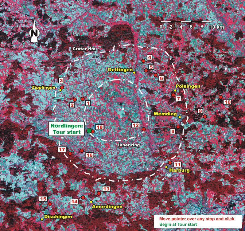
Stop 7 at Ries

Impact melt rocks at Polsingen
Photo: G. Osinski, Canadian Space Agency
Location: 2 kilometers inside the northeast crater rim
Scale: Height of the cliff is 3 meters
This small abandoned quarry is hidden in a patch of trees at the southern end of the town of Polsingen. This is the only place at the Ries structure where we can see impact melt rocks as all other localities are completely overgrown by vegetation. Recent work suggests that these rocks represent a large body of impact melt that flowed outwards from the crater center. The melt then pooled and cooled, crystallizing to form impact melt rock. This is different compared to the patches of melt within suevite that we’ve seen at other locations (stops 3 and 4). In suevite, the melt cooled rapidly to form glass and was dispersed throughout the breccias. To learn more about impact melt rocks, click here.
| Geologist Gordon Osinski talks about the impact melt rocks at Polsingen High resolution WMV (4.2 Mb) MP4 (3 Mb) Moderate resolution WMV (4.0 Mb) MP4 (3 Mb) Low resolution WMV (640 Kb) MP4 (3 Mb) |

Close-up of the impact melt rocks
Photo: G. Osinski, University of Western Ontario
Location: 2 kilometers inside the northeast crater rim
Scale: Height of the rock hammer is 35 centimeters
